Overview
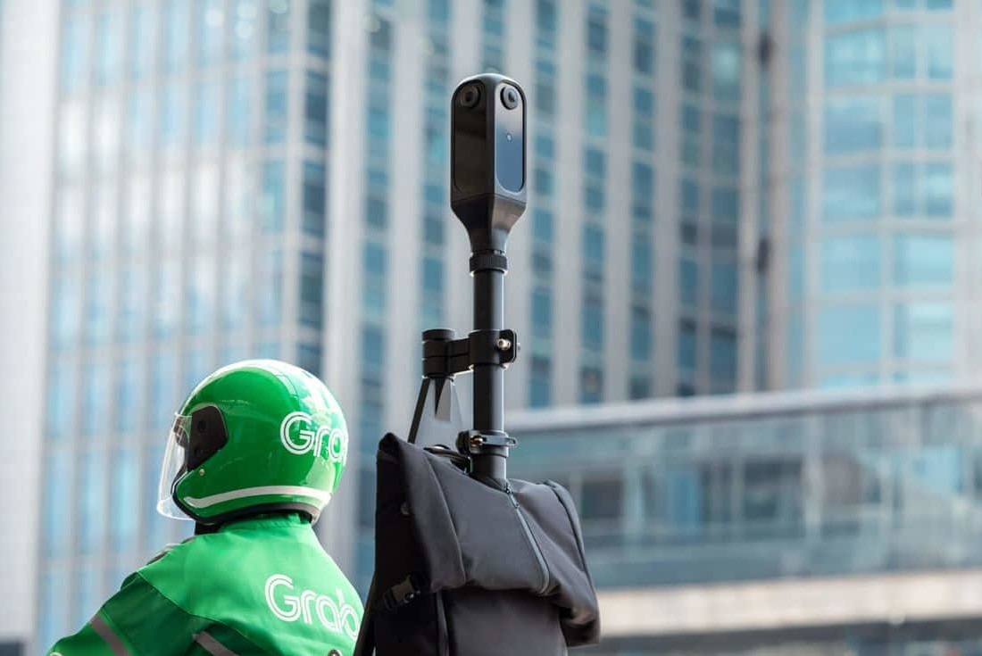
KartaCam2 is Grab's latest innovation in mapping technology, designed to collect high-quality street-level imagery for creating precise and context-rich maps across Southeast Asia. Building on the features of its predecessors, KartaCam2 delivers superior image quality and more accurate location data in a sleeker, more portable design.
Since 2017, Grab has deployed thousands of KartaCams across Southeast Asia, collecting billions of images to make GrabMaps as accurate and detailed as possible.
Key Features
📸 360° High-Resolution Imagery
Four 48-megapixel image sensors provide full 360-degree coverage (both horizontal and vertical axes), capturing detailed street-level imagery with exceptional clarity.
📍 Precise Positioning
Enhanced GPS with 10Hz frequency (up from 1Hz) and dual-band GPS module with extendable antenna delivers significantly improved position accuracy and signal stability.
🤖 Edge AI Processing
Smart capturing with edge AI automatically retakes low-quality images and blurs personally identifiable information like faces and license plates to protect privacy.
Advanced Capabilities
LiDAR Compatible
KartaCam2 is designed to work with LiDAR (Light Detection and Ranging) technology, enabling it to accurately measure distances to surrounding objects and deliver even more detailed spatial information.
Ergonomic & Efficient
User testing in Jakarta showed that KartaCam2's setup time is 83% quicker than previous models. The sleeker design makes it easier to carry and operate, improving the overall mapping experience.
Technical Specifications
| Image Sensors | 4 × 48-megapixel sensors with 360° coverage (horizontal and vertical) |
|---|---|
| GPS | 10Hz frequency, dual-band, support for real-time kinematic GPS |
| Connectivity | 4G, Wi-Fi, Bluetooth for mobile pairing |
| Processing | Edge AI for image quality assessment and privacy protection |
| Compatibility | LiDAR-ready for enhanced spatial data collection |